Last week, the “Plan of Movement and Public Space in Cusco”, simplified as “Plan Cusco”, was presented to the public. It included the “Qhapaq Ñan 2, the Path the World Will Follow” The Plan projects its completion over 9 years, by 2025, with an investment of 800 Million dollares provided by the World Bank, UNESCO, and the various government agencies resppnsible for development.
The Plan Cusco raised much discussion, disbelief, and argument about its vision and practical details. One must note the conversation was made difficult by the technical descriptions in it that were not easily grasped. As a result, here we present an overview of it and its aims.
These reactions make sense in a city where buildings have been built which do not respect the urban symmetry nor the urbanist norms established in Cusco as a World Heritage site. A clear example of this is the legal difficulty Cusco’s government has faced with the construction of the Sheraton Hotel on Saphi Street with its planned seven floors. Other examples come from the building of other hotels and commercial centers which have been built without clearly following Cusco’s parameters. The other strong issue is the rapid growth in the number of cars, buses, and trucks which pollute and generate chaos within the city.
The city of Cusco has grown vertiginously in a chaotic and disorderly fashion. It has had an annual growth rate of 2.22% and is projected to have by 2023 a growth of 38.02% above the population of 2007, reaching 468,526 inhabitants solely within the Province of Cusco. It is a magnet for regional, national, and international migration and is becoming a diverse city (1).
This growth requires satisfaction of its citizen’s demands, urban planning, and the development of focused projects of a new urban model. The new Plan Cusco was proposed to accompllish this.
The Plan Cusco presents a desire for and a concept of a city based on human beings and their natural demand for mobility in a unitary and social discourse on urbanism, culture, territorial organization, tourism iin which motrized vehicles are at the service of people.
Its objectives are: Define the urban model desired for future generations, recover the historic essence of our neighborhoods as social nuclei for families who can use their paces with feelings of belonging and security, as well as the creation of an urban system of transport and regulation of vehicles for all the citizenry.
The Plan posits 6 models of the city: Living, habitable, eco-active, safe, prosperous, and participative.
It analyzes how the inherited urban model which is scattered and not adequate for the existing infrastructure, generates insufficient public transport, creates a preacarious external network of roads which is exclusive and is dangerous for pedestrians and cyclists. This has negative effects in the growing sedentary lifestyles and environmental pollution generated by the large numbers of cars.
At the same time, from a functional point of view, the Plan identifies three kinds of cities that are defined in their mutual interaction. The Compact City is the first. It is associated with short distances of travel, alsoc alled the pedestrian city. In it we find the city’s historic center connected with the Inca’s Qhapaq Ñan. The distances people walk determine the territorial size of the projected city. Second, there is the Continuous City, which views the needs for public transport and great urban axes built on the compact cities. For this city, the plan proposes three projects. There is also the City as Terrritory, one with large distances and dispersion. This larger city currently includes the Sacred Valley, Machupicchu, Chinchero, and asociated spaces. As a consequence of this larger city, the Plan notes the need for creating longer distance means of movement, including private vehicles and public transport and the need for better infrastructure.
The proposed strategies are:
A hierarchical model with two speeds: one of equilibrium in which the different speeds of each mode of transport (private, public, urban, and regional) develop without much friction. This requires two stages with syncrhronized networks: a vehicular network which responds to the city of distances and a network of close spaces which reintroduces the concept of street as a hybrid space in which movement and slowness meet. This includes recognition of two important and often forgotten means of transport without motorized vehicles, the pedestrian and the bicycle.
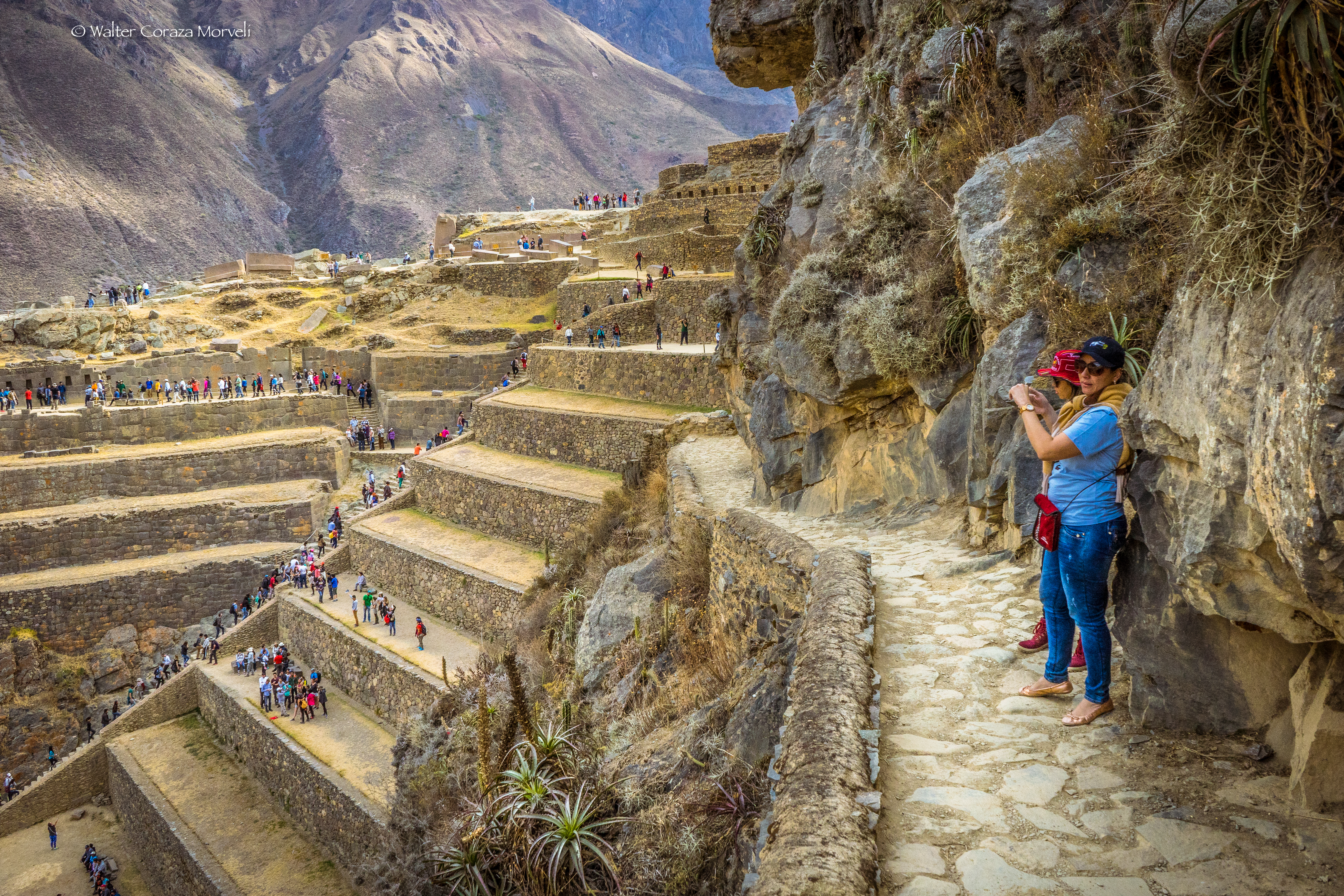
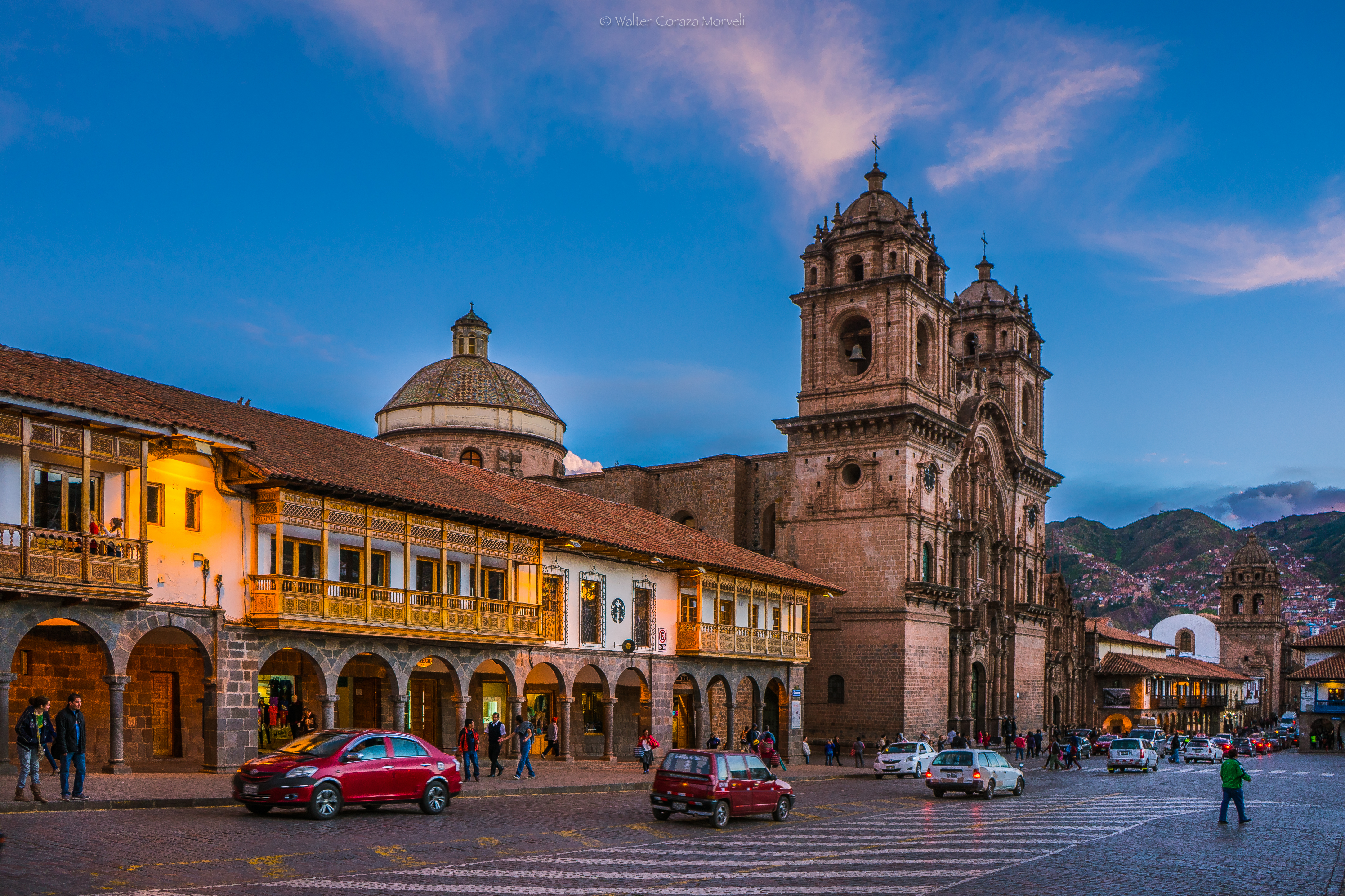
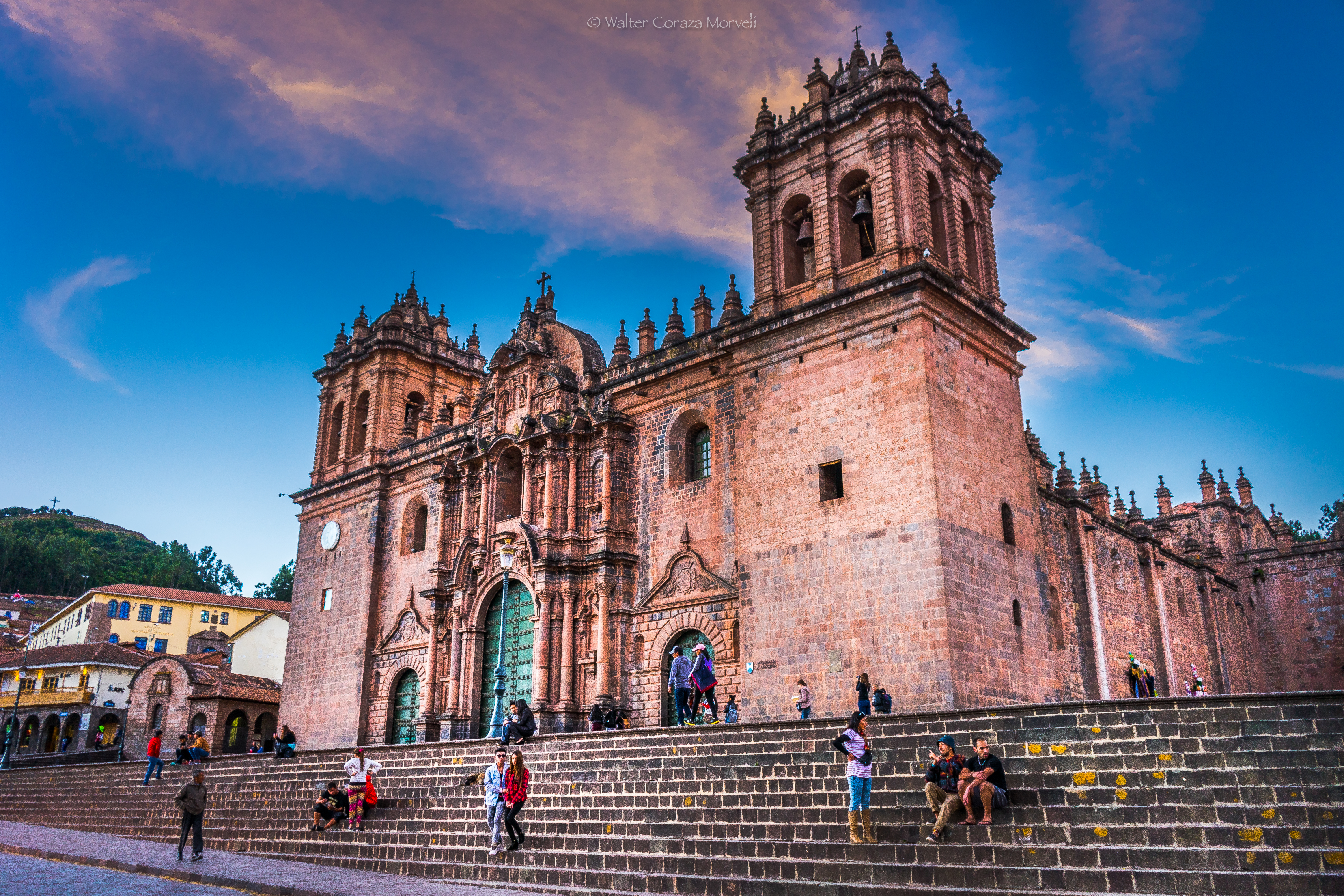
The pedestrian city is one which requires a notion of the realistic distance a person will walk to destinations, to equip their homes, obtain services, and find recreation. This is 15 to 20 minutes of walking, which is a distance of some 500 to 600 meters. This idea is enriched by the theories of urban networks that enable the construction of complex models made up of segments that are less than half a kilometer. Cusco still has sufficient micro networks in order for it to develop a continuous and solid urban network. This strategy takes into account its existing network of plazas with symbolic importance. The Historic Center has the majority of these spaces which have symbolic, historical, and recreational meaning. They include the Plaza de Armas, the Plazoleta of San Blas, Regocijo, San Francisco, San Pedro, and those of the neighborhoods of Santa Ana, San Cristóbal, Pumaqchupan, as well as streets and avenues such as Plateros and the Avenida El Sol. These all form part of this project.
Towards a City of Neighborhoods. This idea focuses on neighborhood functional integrity. It corresponds to a smaller scale society. In the City of Cusco some 40 functional, neighborhood units have been identified. The model proposes creating and supporting ecosystems of local scale which propose intensive use of space dominated by ease of walking and of seeing public space as a space of socialization. This space includes streets, parks, and palzas which are pleasant. They not only promote movement but also the possibility of stopping and simply enjoying them.
Qhapaq Ñan. This plan contemplates making the Historic Center of the City a pedestrian zone with its more than 40 streets. At the moment it suffers from ehavy traffic which deteriorates its historical monuments. The project takes this name because of the Center’s networks of pedestrian routes, including the Inca highway system, which makes it the most extensive pedestrian network in the world. It defends the ancient Peruvians as a geat culture of walkers.
Transport, composed of a “high capacity trunk route with the dimensions of the most important main streets: The Avenue La Cultura y Prolongación, the Ave. 28 de Julio, the Ave. Velazco Astete, the Evitamiento, and the Express Way. These are fed by two types of routes: short ones that bring nearby sectors into the trubk routes, and the interchange routes that permit passengers to move from one to another in the city’s center. What this means is a simplification of the current design of the city in order to give more coverage to users and to modify routes in order to fit better the demand and conecctions given the idea of trunk routes. (2)
The New Center of Cusco. For this, the Plan envisions recuperating the Wanchaq Train Station with is practically abandoned. It is in a perfect position to articulate the old structure of the Qhapaq Ñan and the new vehicluar and pedestrian routes of the larger city. It will gather institutional, commercial, and hotel functions to the point where it will contain 35% of the total and of course will also provide recreation space which is proposed to be 65% of the total. (2)
For this New Center, the Plan also contemplates using the space currently occupied by the Velazco Astete airport once the airport in Chinchero is built.
From Expressway to Urban Boulevard. This current principa axis has a multimodal character. It has spaces for pedestrians, bycyles, parking, buses, and private vehicles. Itt requires sufficient vegetation to generate a vision typical of boulevards.
The Evitamiento designed to avoid the congestion of the city requires a system of access that requires at least five entrances.
It is certain that there is an urgent need to orgnize movement and use of public space. At the same time it is necessary to generate citizen dialogue which permits sustainability in the Municipal proposal as well as an aspect that hopes to prevent social conflicts and promote dialogue and respect.
- Municipalidad del Cusco. Plan de Desarrollo Urbano Cusco al 2023. https://www.cusco.gob.pe/wp-content/uploads/2015/05/2-1-componente-social.pdf
- Municipalidad del Cusco. Plan de Movilidad y Espacio Público del Cusco. Cusco 2016. www.plancusco.com